#Opendata Geolocated Venezuela data
geoconfirmed.org/ven
04.01.2026 17:31
👍 1
🔁 0
💬 0
📌 0

@jaravillanueva
Space & Geospatial Engineer / Lead of Center for Sustainability & Resilience at the European Space Policy Institute (ESPI) / Founder of geo4us.com I advocate the use of space technology for underserved communities. 🔗 www.linkedin.com/in/jaravillanueva
#Opendata Geolocated Venezuela data
geoconfirmed.org/ven
🚀 Watch the Earth Change: New QGIS Plugin Creates Satellite Timelapse Animations in Seconds 🌍
A QGIS plugin for creating timelapse animations from satellite and aerial imagery using Google Earth Engine. Supports NAIP, Landsat, Sentinel-2, Sentinel-1, MODIS NDVI, and GOES weather satellite imagery.


The traditional end of year collab between @esa.int , @eumetsat.int, @wmo-global.bsky.social and me.
I love making these pics...MTGsending back beautiful data as always! 😍
These four are 06UTC on: 19/12, 22/09, 21/06 and 20/03
Nice seeing how the sunlight moves around our planet during the year.

Opportunity for all #EO data providers ( space agencies & commercial space companies) to contribute to @fao.org and UNOOSA’s work on satellite to product mapping for food security.
Questionnaire link: forms.office.com/e/Z33VaBknzC
#gischat #remotesensing #geospatial #earthobservation #space 🛰️

DeepMind’s AI/ AGI evolution
A realization of its potential danger when used in security and defense, an attempt to solve the folding protein problem, and the open ended question of how to govern it.
youtu.be/d95J8yzvjbQ?...

Today I learned that NASA has a collection of free ebooks that can be downloaded as pdfs or ebub format.
The science books even include a children’s section with fun activites and coloring books!
science.nasa.gov/multimedia/s...
AquaCropPlotter : Tool for visualizing and analyzing aquacrop simulation
journals.plos.org/plosone/arti...

#Opendata
Global Renewables Watch
github.com/microsoft/gl...
a global temporal dataset of commercial solar photovoltaic (PV) farms and onshore wind turbines, derived from high-resolution satellite imagery analyzed quarterly from the fourth quarter of 2017 to the second quarter of 2024

22.1 billion euros subscribed.
A record.
A first.
And a clear message that Europe is serious about space and that @esa.int is the agency it trusts to deliver.
A historic Ministerial. A united Europe. A stronger ESA.
www.esa.int/About_Us/Cor...

Biodiversity and armed conflicts
www.sciencedirect.com/science/arti...
Blockchain and earth observation
eo4society.esa.int/wp-content/u...

Disasters have inflicted an estimated $3.26 trillion in agricultural losses worldwide over the past 33 years – roughly 4% of global agricultural GDP – according to a new @FAO.org report.
Read more: buff.ly/VsMFQAE
Download your copy: buff.ly/H5WLV1g
#DisasterRiskReduction #COP30

🚨It’s live!
The @FAO.org Climate Change Knowledge Hub is your one-stop shop for climate knowledge at the nexus of food, agriculture, and the environment.
Discover +800 resources and tools today ➡️ bit.ly/49Du8vu
#ClimateAction #AgrifoodSystems #ClimateFinance #COP30

Time chart showing the sea-level rise
🌊 Why launch another sea-level satellite? To build resilience, we need to know how sea level is changing, and why.
Satellites such as #Copernicus Sentinel-6B, set to launch on 17 November, are helping us uncover what’s driving sea-level change.
www.esa.int/Applications...
Open Geospatial Solutions
github.com/opengeos
The best thing about the #30DayMapChallenge other than seeing nice map designs is discovering lots of #opendata sources.
My favorite find so far:
Dinosaur database 🦖
paleobiodb.org/classic
Satellite Location Tracker dashboard
www.appliedspace.tech/nibbles-in-s...
eo-college.org/courses/beyo...
Earth Copilot
github.com/microsoft/Ea...

Thread for #SpaceSustainability
Key environmental indicators for space
gnosisnetwork.org/key-environm...

̶C̶a̶r̶r̶y̶ ̶a̶ ̶m̶a̶p̶ Carry the #map 🗺️

🚀 We are in a time of global transformation in space.
Do you want to be a part of it?
Applications are now open for the Roy Gibson Fellowship on Space Policy!
🗓️ Apply by 30 September ➡️ www.espi.or.at/roy-gibson-f...

Really nice #EO for #humanitarian guide from NASA Lifelines 🛰️
2 things I love about this:
1. Making #satellite #data concepts more accessible for decision makers;
2. Using #space for good, this time towards humanitarian usecase
#gischat #geospatial #sciencepolicy
nasalifelines.org/lifelines-ga...

Call to all #women in #geospatial and #earthobservation! 🛰️ 🌍
Réseau (www.reseauconsulting.com ) presents an incredible opportunity to have a conversation with the United Nations - Deputy Secretary General - Ms. Amina J. Mohammed. See you there!
#gischat #gis #UN #remotesensing #eo #eochat

🚨 Applications are now open!
We are excited to announce that the @geospatialwomen.bsky.social Mentorship Programme is now accepting applications for our 25/26 cohort, open until 7th September!
🔗 Interested? Apply here: lnkd.in/ek7veWdG
#gischat #remotesensing #geospatial #eo #gis #mentorship

www.nature.com/articles/s44... A framework for EO-based National Agricultural Monitoring (EO-NAM) for the African Context | npj Sustainable Agriculture
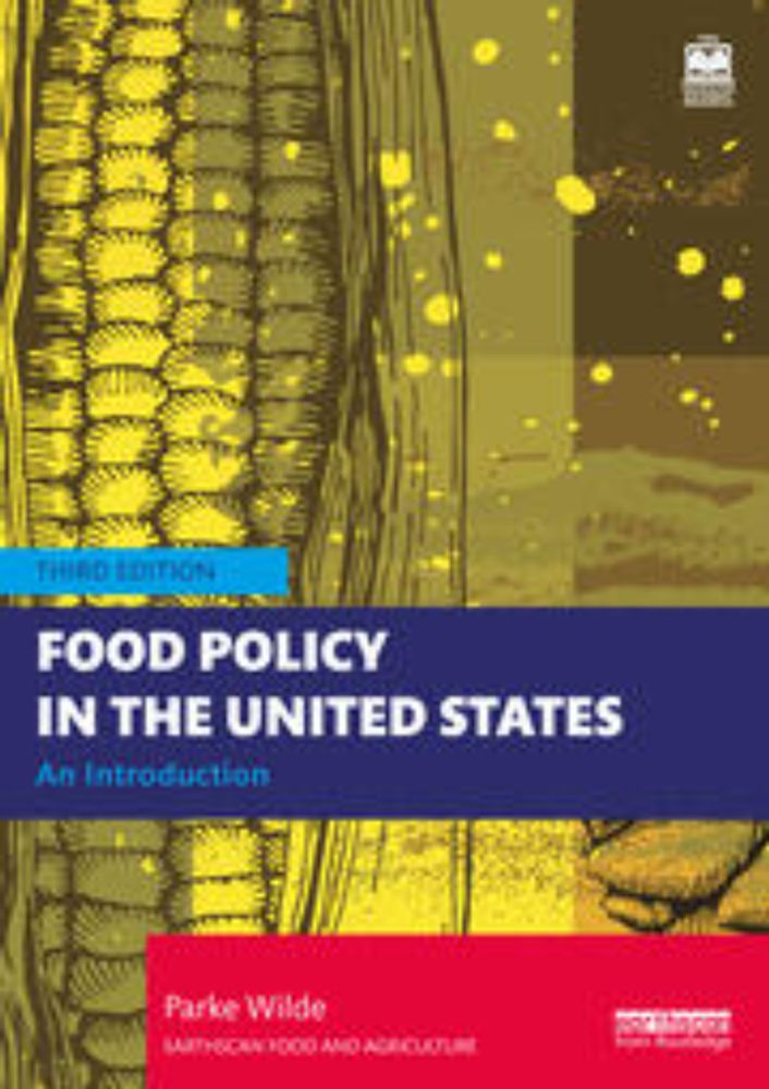
Prof. David Ortega at Michigan State University calls the new third edition of Food Policy in the United States "an indispensable resource for my graduate food policy course and anyone looking to engage with and influence the food policy landscape."
www.routledge.com/Food-Policy-...
🚀 Visualizing Planet’s Tanager Hyperspectral Data in 3D! 🌍🛰️
Create an interactive image cube to explore the internal structure of all 426 spectral bands captured by Planet’s Tanager mission
📓 Notebook example: hypercoast.org/examples/tan...
💻 GitHub: github.com/opengeos/Hyp...


