
Did you get the bean/almond/clay figurine?
06.01.2025 20:10
👍 2
🔁 0
💬 0
📌 0
Did you get the bean/almond/clay figurine?

Zijn allemaal op door de hype rond deze lampen 🫠
kismas.com/collections/...
He's on here as well :) @tterence.bsky.social

A small wooden tower with a balcony, looking out over grass land.
On the permanent Sandbank Griend there is this small observation tower for wildlife researchers. You can even walk there in Google Streetview. Maybe not so remote after all!
www.google.com/maps/@53.251...

Vliehors on the island of Vlieland is a military area where fighter jets from different countries practice to drop bombs.

Aerial picture of tidal area with wavy lines of water between green vegetation.
To finish this off, some new places I got to know by to making this map: Het Verdronken Land van Saeftinge is a beautiful tidal area in Zeeland where water from the river and sea meet.
(Picture by: farmcamps.com/en/farms/de-... )
I used Lookup tables (LUT’s) in Fiji to colorize the gray scale EDM. Unfortunately, I wasn’t able to finely select the color for every value, which makes that the color range cuts off already between 1km and 2km. Lastly, I used Figma to put the finished map together.

A screenshot in Fiji where the brightest points in the distance map are highlighted.
With the FOCI tool in Fiji I was able to find the brightest points within the image. The value of these points tell the distance in pixels. After calculating the scale of the image I was able to get the distance in meters.

A black and white map of the Netherlands where places close to a road are black and places further from a road are grey or white.
I found large raster images of all railroads and roads in the Netherlands and merged them in Photoshop to a black and white image. I used that image to create an EDM in Fiji. In Photoshop I masked out all bodies of water on the EDM because I was only interested in places on land.

An example of how an Euclidian distance map works.
An EDM can be used to find the distance to the closest road for every point on the map. For every pixel in an image it calculates the distance to the closest active pixel (road). The active pixel has a distance of 0, the pixel next to it 1, and so on.

A screenshot of scientific image analysis tool Fiji.
I used Fiji, an open-source image analysis tool for scientific images. Researchers use it for analyzing microscope imagery but it also supports making Euclidian Distance Maps (EDM).

The map shows the most isolated places in the Netherlands with the largest distance to a road or railroad. The most isolated place is the island Rottummerplaat with a distance of 14.4 kilometer to the closest road.
Most isolated place in the Netherlands 🎯
Good to see more dataviz and mapping people here!
Wat tof Ruben! Fijne app om rustige plekken in de stad te vinden :)
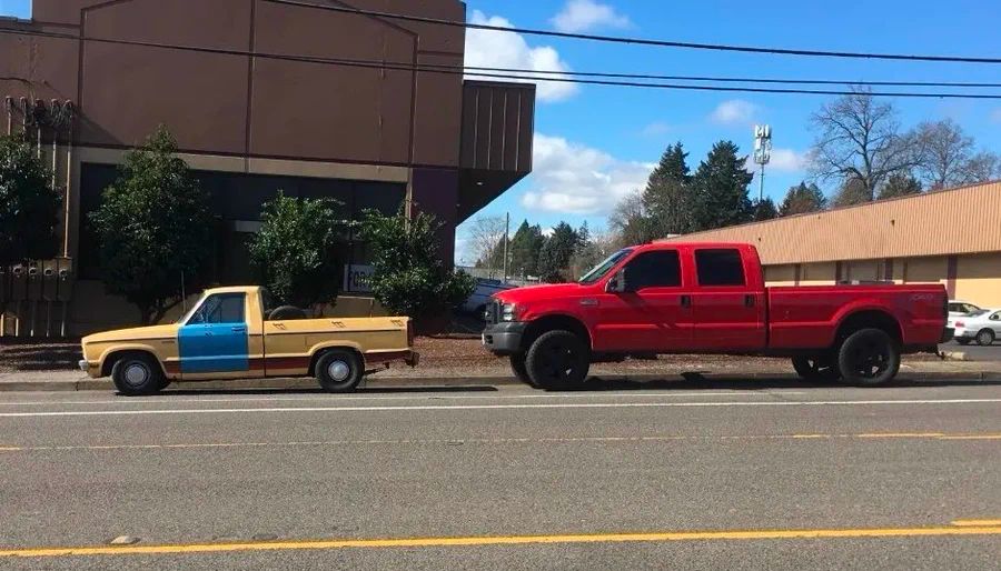
I’ve spent much of the last year examining car bloat, the process through which smaller vehicles are being replaced by increasingly massive SUVs and trucks.
What I’ve learned: Huge cars are terrible for society, often in ways that are hidden.
THREAD