Follow along to my Wildfire Activity Mapping course this term via the Google folder below! We started class this week and went over basics for course structure and field prep. The course materials will populate as I deliver them to my students each week! Happy mapping! 😎🔥🗺️
25.09.2025 18:35
👍 5
🔁 2
💬 0
📌 0

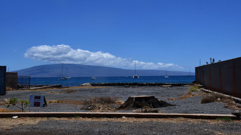
Blue water stacked under bright blue skies. Almost no clouds except far off at the horizon in the distance. A few choppy waves can be seen along the water surface.
View of Lake Michigan from the Oak Leaf Trail on the south side of Milwaukee.
29.08.2025 13:15
👍 4
🔁 0
💬 0
📌 0
Yes! A progression map will be part of lab in Weeks 2 and 3. Do you have access to ArcGIS Pro software? Also, feel free to reach out via email if you want intro mapping materials, I always share course preps! 🙂
18.08.2025 22:08
👍 1
🔁 0
💬 1
📌 0
Hmm I get an email that says my email can’t be delivered. Were you able to get the syllabus from the link I posted above? If not, I can send another way! :)
18.08.2025 22:05
👍 0
🔁 0
💬 1
📌 0

A 1940 Western Apache (Ndee) farm site with two wickiups in a ponderosa pine forest.
CREDIT: Lee Russell/Library of Congress
Tree-ring fire records from 649 pine trees in central and eastern Arizona show that fires occurred more often in the territory of the Western Apache, or Ndee, than in other regions between 1600–1870, suggesting a culturally controlled fire regime. In PNAS: www.pnas.org/doi/10.1073/...
18.08.2025 20:58
👍 33
🔁 15
💬 0
📌 0
I love teaching applied GIS classes! :)
16.08.2025 01:53
👍 1
🔁 0
💬 0
📌 0
I shared a link above, let me know if you have issues accessing it 😎🖖
16.08.2025 01:52
👍 1
🔁 0
💬 1
📌 0
I shared a link above, let me know if you have issues accessing it 😎🖖
16.08.2025 01:52
👍 0
🔁 0
💬 0
📌 0
IntLevel-WildfireActivityMapping - Google Drive
I’ve set up a public Google folder for the course that has the syllabus, and will update each week this term if you just want to follow along without enrolling for credit. There is a ReadMe file to check out too drive.google.com/drive/folder...
16.08.2025 01:47
👍 6
🔁 2
💬 1
📌 1
Sent! :)
16.08.2025 01:44
👍 1
🔁 0
💬 1
📌 0
While prior background will help, the class assumes minimal GIS experience. I’ll send the syllabus!! :)
14.08.2025 22:18
👍 1
🔁 0
💬 1
📌 0
Assistant or Associate Professor, Physical Geography (T/TE) (Updated)
Develop and maintain an active research program.Teach undergraduate and graduate courses.Develop advanced courses at the graduate level.Mentor and adv...
The University of Arizona is hiring a tenure-track Assistant/Associate Professor in Physical Geography! Research specialities could include wildfire, climate and water resources, and/or natural hazards, amongst others. Please apply and join us! arizona.csod.com/ux/ats/caree...
14.08.2025 18:10
👍 46
🔁 51
💬 1
📌 1

A flyer describing a course offering. Text reads “GEOS 305 Wildfire Activity Mapping Fall 2025. An introduction to historical and active wildfire mapping. Covers various wildfire, data sources, methods for mapping historical, active fires, and limitations of current GIS workflows in the field.” If you are an EWU student then you enroll based on the course schedule, but non-EWU students complete asynchronously.
I’m teaching a GIS course Fall 2025 on wildfire activity mapping. This class will be offered through the Prof and Continuing Edu program at Eastern Washington University and you don’t need to be an EWU student to enroll! Email or DM with questions or if you’d like the syllabus!
14.08.2025 17:59
👍 49
🔁 22
💬 6
📌 1

I'm heading to #esa2025 and I am on the job market! Looking for academic positions at SLACs and PUI's broadly where I could share my love of restoration ecology with undergrads in the classroom and in the lab! Send me your leads, or learn more about me from my website
rpizza94.github.io/RileyPizza/
10.08.2025 17:52
👍 55
🔁 16
💬 1
📌 0

Beach view at sunset. Sea stacks visible way out in the water and low cloud base makes the sun wedged between the horizon and clouds with bright orange hues.

Sea stacks at sunrise. Trees are growing on top and the waves have cut a curved arc around them. Driftwood seen in the foreground.

A tree growing out of a fallen old growth tree. The roots of the younger tree are exposed and visible all along the trunk.

Lush vegetation and blue hydrangea flowers.
Was on the Olympic peninsula last week for some fieldwork and took some time for exploring Rialto Beach and areas in the Quinault Rainforest.
07.08.2025 02:58
👍 7
🔁 2
💬 0
📌 0
Yep. "Floods follow fires" is now a maxim. A good IC/Liaison Officer/PIO will not only work the fire, but help the community understand & prepare for the future flooding.
Also, 3400 communities depend on national forests for drinking water & drinking watershed fires are some our most dreaded fires.
21.07.2025 21:45
👍 13
🔁 4
💬 0
📌 0
WAGISA2025_Talk.pdf
Download a PDF copy of our slides here: drive.google.com/file/d/1Ydro...
20.07.2025 19:17
👍 1
🔁 1
💬 0
📌 0

A cover photo of a PowerPoint slide. There is a view of what’s left post extra high intensity fire in south central Oregon. There are black text boxes on the top and bottom of the slide that introduce the top of fire history and GIS and list the presenters.
Interested in fire history, GIS, and community science? My lab presented at WAGISA in Tacoma last month on our work at Riverside State Park using GIS as both a teacher and a tool for improving wildfire resiliency in communities and restoring natural fire regimes. Check out the slides below! 👇
20.07.2025 19:17
👍 6
🔁 2
💬 1
📌 0

low severity surface fire burning through a ponderosa pine forest
The Turkeyfeather Fire in the Gila Wilderness, NM has burned as a low-severity fire over about 24,000 acres (so far). This is a continuation of a fire regime that existed for millennia before the 20th century. This 🧵reviews the fire history of the Gila, as my colleagues and I have studied it. 1/18
20.07.2025 13:35
👍 68
🔁 26
💬 2
📌 8
Thank you for sharing this!!
20.07.2025 05:27
👍 0
🔁 0
💬 1
📌 0

A Hwy historical marker sign that describes the connections between lodgepole pine forests and fire. This marker is for a loop trail that is show on the map and has a drawing of what the tree and pine cone look like to the left of the marker. The marker is stamped with the USFS badge and Nez Perce - Clearwater National Forest designation.
I am a sucker for historical markers. I will pull over at ever single one. I have a goal to one day be involved in making one about fire or tree rings or GIS. 😅🤞
19.07.2025 17:30
👍 8
🔁 1
💬 1
📌 1

A lush green forest and shallow river that meanders through the frame through a mountain valley. Sunshine brightens the slopes in the background and treetops on the right, the foreground is in shade. Bright blue cloudless sky.
Lochsa River in Idaho along the Nez Perce Trail.
15.07.2025 05:26
👍 7
🔁 1
💬 0
📌 0

More ‘good fire’ in Michigan restores Indigenous land practices
Indigenous people stewarded the land for millennia and using fire was among the ways they did it.
Lots of interesting points in this story, but I want to highlight the commendable work of Kurt Kipfmueller (U of MN) and Evan Larson (UW Platteville) in applying their tree-ring based research in collaborative projects with Tribal Nations across the Great Lakes region. www.mlive.com/environment/...
28.06.2025 02:22
👍 40
🔁 9
💬 1
📌 1
I took the extra extra long way home from WAGISA this year and hit Deception Pass and then SR 20 across the north cascades. It was amazing!
27.06.2025 02:18
👍 2
🔁 0
💬 1
📌 0