
...and just like that the cloud collapsed. Radar at 350pm.
06.03.2026 21:52
👍 5
🔁 0
💬 0
📌 0
...and just like that the cloud collapsed. Radar at 350pm.
We hit 85° today, which breaks the old record from 1910 of 83°.

Rain moving north into Davidson County.Radar at 3:15 pm

Low Chance of a Strong to Severe Storm Saturday.
Details here nashvillesevereweather.com/2026/03/06/l...


For Saturday, we are included in low severe weather probabilities. Within 25 miles of you, there are the following chances each will occur: Tornado - 2%, Damaging straight line wind - 5%, Large hail - 5%. For today tho, likely record warmth. 83° is the record and also today's forecast.
Near or above record warmth today. With that of course we have a low end chance of isolated thunderstorms. Much better chance of storms tomorrow. SPC gives us a 1 in 5 chance of seeing severe weather Saturday afternoon and evening. More in the blog later today.

Allow me 30 sec for a soap box. After watching 5 min. of @kfor life-saving tornado warning coverage in Oklahoma, I got a message saying I had run out of my free time and to create an account. Station owners wonder why people go to alternative media for weather coverage. Because they have to?

Strong Storms Possible Saturday PM, Well Above Average Temps Continue.
New blog here

Showers and storms off to our NW will largely miss us. There could be a few strays that sink down this far south, but it would be very isolated. Better chance for storms over the weekend. Gusty winds and heavy rain the biggest threat. More in the blog later. Radar at 728am.

Was going through some old video files and realized I never posted a video from last May...my visit to Oklahoma and the Weather Prediction Center. Here's a long form video journal from that visit. Some interesting....and heavy moments. youtu.be/ZGpwYGkzhGk

Near Record Warmth This Week, Showers/Storms Likely Saturday.
Details here

We’ll threaten daily records highs most days on the back half of this week.
Wednesday –> Forecast = 80° | Record = 84° (1976)
Thursday –> Forecast = 82° | Record = 80° (1910)
Friday –> Forecast = 85° | Record = 83° (1910)
Saturday –> Forecast = 83° | Record = 80° (2000)
Check out NashSevereWx.com.

Hard to believe it's been six years. Lives changed forever in this one. storymaps.arcgis.com/stories/2b69...

Loved spending time recording this pod with Spencer and Carli Patton! Good folks. Hear all the secrets of how we operate and how we started. #SignatureRequired buff.ly/SDlxn7E

Near Daily Record Highs Wed. - Sat., Unsettled Pattern Returns Saturday.
New blog here nashvillesevereweather.com/2026/03/02/n...
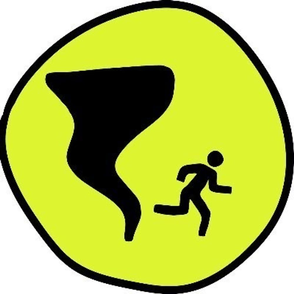
Make sure you have a plan and that you don't just talk about it, but actually practice it. Look at it like a dress rehearsal for the real thing. Dolly, Trisha, Kenny and Keith don't take the stage without a run through with the band. Do the same for your family. Prepared Not Scared!
There is great information available from the Williamson County Emergency Management Agency as well. Both TEMA and Williamson County EMA are nationally accredited by the Emergency Management Accreditation Program and are held to very high standards. buff.ly/pfq3z1K
Welcome to March, Y'all! As we get into meteorological spring it's a good idea to get ready for severe weather season. If you're new here, don't freak out, just get ready for it. We call it Prepared Not Scared. Take a look at some helpful information from TEMA. buff.ly/ge5VoZg

Light rain incoming. High in the mid 60's today. Radar at 730am.

New podcast! Debris Ballers features 3 retired NWS meteorologists....and Andrew as your host. Join Tom Johnstone, Alan Gerard, John Gordon and Andrew Leeper following impactful severe weather nationwide for an explanation of what happened and how ratings work. Video Version here: buff.ly/I4KaS3e

Proving The Groundhog Wrong, Heavy Rain Potential Next Weekend.
New blog here nashvillesevereweather.com/2026/03/01/p...

Spring-Like Temperatures Prevail, Wet Pattern Ahead.
New blog here
Dense Fog Advisory until 10am. Use caution when driving.

Rain has moved on out, with totals generally around 1". We are left with a dry rest of the week, with cool mornings and warm afternoons. Next rain chances look to arrive on Monday.
Dry air monster all but gone so more of this rain will make it to the ground. Radar at 715pm.

Heavy Rain Possible Tonight, Warm Weather Continues.
Details here nashvillesevereweather.com/2026/02/25/h...
Window for rain opens this evening and continues for about 24 hours. HRRR loop through 4am Thursday. Could be some 2" rainfall amounts under persistent downpours, but most amounts will be much lighter.

Rain Wednesday PM + Thursday, Warmer Temps Stick Around.
New blog here nashvillesevereweather.com/2026/02/24/r...

Gradual Warming Trend This Week, Wet Thursday.
Monday blog here nashvillesevereweather.com/2026/02/23/g...
Flurries for some of us. No impact expected. Currently 22°. 7:10am.

