A data publishing utility from @radiant.earth. Currently in beta.
https://source.coop
Environmental researcher 🌍 | data engineer | software engineer
Digital Tool Specialist @ UK Centre for Ecology & Hydrology https://www.ceh.ac.uk/
Own views
https://bit.ly/KitMacleod - Google Scholar
https://bit.ly/MonitoringEarth - Bsky feed
We are a home for #EarthScienceData professionals.
We partner with 170+ organizations, support 30+ Collaboration Areas, and host two deep-dive meetings. Learn more: esipfed.org
Geospatial Data Scientist & Podcaster
I’m curious about the modern mapping & satellite imagery world
Podcast: https://www.mindsbehindmaps.com
Videos about maps: https://youtube.com/@maxlenormand
Official AGU: supporting 500k+ Earth & space science advocates.
🌏 🚀 🔬
Save the Date for #AGU26 in San Francisco, CA, 7-11 December, 2026.
Technical Project Manager, supporting teams that build awesome tools for processing satellite data. Ph.D. Meteorology. Learning how to become a terrible aurora photographer. Opinions expressed here are my own.
📍Minnesota, US
We build technology to create data, apply science, influence, guide and measure effective actions on the most pressing climate and conservation issues of our times.
https://Earthgenome.org
Self-employed software engineer and consultant working on geospatial ☁ solutions. openEO, STAC and cloud-native geo. Also fixing my parents' computers. 🤪
Where geospatial data users create the future together.
Join - cloudnativegeo.org/join
We're a non-profit fighting #airinequality by harmonizing disparate AQ #opendata and convening community. Join Slack: https://link.openaq.org/joinslack
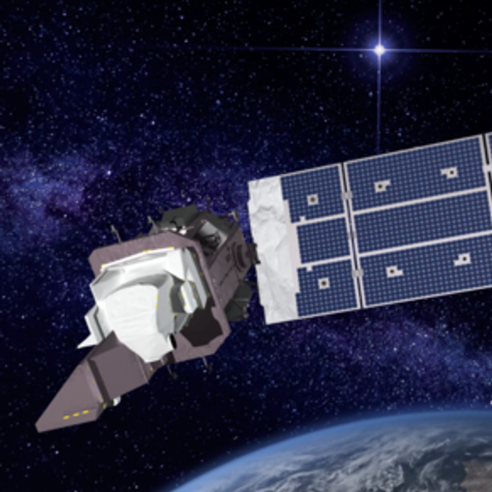
🛰️📡 Unofficial mirror/fan account for the Landsat Program, a series of Earth-observing satellites co-managed by USGS & NASA, imaging the Earth since 1972. Posts do not necessarily reflect the views of USGS or NASA.
Increasing shared understanding of our world through community-led initiatives that make data easier to access and use.
radiant.earth
Official account of the Chair for Physical Geography and Nexus Research of the #Geography Department @ #LMU Munich. Explore the nexus of water, food, energy, & nature with us! #climatescience #landsurfacemodeling #nexusresearch
tinyurl.com/NexusImprint
Geospatial Data Scientist at Desert Research Institute and ClimateEngine.org 🛰️ | Spatial data in climate and conservation 📊🌐🌱 | #EarthEngine @GoogleDevExpert | #RStats #Python
European operational #satellite agency for monitoring weather, #climate and the environment from #space 🛰
eumetsat.int
The #CopernicusClimate Change Service (#C3S) & #CopernicusAtmosphere Monitoring Service (CAMS), implemented by @ecmwf.int on behalf of the @ec.europa.eu.
Scientist and Startup Founder
Co-Founder and CEO @Earthmover
@pangeo_data steering council member
ex-Professor @Columbia @LamontEarth
Working at Amazon to support the betterment of environmental equity. Living in Munich, Germany.
Matthew is just this guy, you know?
Remote sensing, open-source and geospatial @element84
geospatial data and cloud engineering @developmentseed.org
We run the "Earth Scientists" feed — pester this account if you want to join
https://bsky.app/profile/did:plc:lpl45lei6abqpvmet5htdbtb/feed/aaakc72k5sgcs
(brought to you by @louis.moresi.info)
Official Bsky Account for WomenInGIS.org
A global network that inspires, unites and empowers women+ in the geospatial field to become strong changemakers.
🛰️🗺️👩🏻💻co-founder @thrivegeo.bsky.social & @geospatialwomen.bsky.social | 📚 closing the skills gap in #geospatial data literacy | #EarthEngine GDE | #earthobservation #EdTech #upskilling
Machine Learning Engineer at Pachama previously at Development Seed
🌱. Spatial data, adventuring 🚴♀️, and 🍪 baking enthusiast. she/her
Advisor | Technologist | Marketer | 🌎 Geographer | Geospatial | GIS | Former ESRI Executive | Earth Champion | Meditator | Never Trump 💙
Owner of Spatial Spirits -> www.spatialspirits.com
LinkedIn -> https://www.linkedin.com/in/lindacstevens/
Tech Lead @developmentseed
Formerly @NASA
Lecturer @ Loyola Marymount University
Founding Editorial Board Member @ Cloud-Native Geospatial
Steering Council Member @ Pangeo
open source enthusiast, ultra runner
geographic technologist
Opinions mine but we can share
👩🏼💻🤦🏼♀️ 🌎💕
#location #geo #ux #seattle #urbanism #maplibre #mapbox #esri #leaflet #python #rstats
Cartographer at NatGeo | past Board member @ NACIS
geographer | adventurer | Rhode Islander | she/her
Newcastle University Academic Track (NUACT) Fellow. Archaeologist and remote sensing specialist. Working on ways to use Earth observation to model past sustainable landscapes (agriculture, water management).
Satellites, Sea, and Society! Bridging gaps between data providers and users @EUMETSAT & beyond. DEI, Mental Health, Open Science, Cooking, Wine, & LEGO. Views my own.
Science Data Visualizer | Seeking Next Opportunity | Former NASA Earth Observatory 🌎🛰🗺 | UCLA Alumni 🎓 | Award-Winning Cartographer 🧭 | 🎙️ President of Women in GIS
Researcher in Geophysics and Space Geodesy at IPGP and IGN
Weighing water and watching the Earth deform from space 🌍🛰️
Views are my own.
floods, satellites, maps, social justice, co-founder and chief scientist Floodbase and asst. prof University of Wisconsin-Madison and co-founder @umbela-org https://beth-tellman.github.io https://www.floodbase.com https://umbela.org mom. Pro-winter.
Remote sensing fellow at University of Bristol looking at volcano deformation using SAR data. 🛰️
👩🏻💻🗺☀️she/her | geospatial data analysis, nature-positive science, and cartography at Conservation International | Tar Heel 💙 🐏 | views my own
Climate Data Visualiser @copernicusecmwf.bsky.social 🛰️ 📈🌍🌡️🎨 • @datavizsociety.bsky.social DVS mentor 2025 • Previously physicist @cambridgephysics.bsky.social 🔬 & data journalist @thetimes.com 🗞️ • 🇮🇹 + 🇬🇧 • Views mine
🌏🛰️ #Earthobservation #remotesensing #geospatial #dronemapping | Co-founder She Maps and GeoNadir | Assoc/Prof JCU | she/her |🔗https://linktr.ee/drkjoyce
I like maps, GIS, data visualization, graphic design, hiking, writing, and hanging out in nature. I wrote a book, GIS for Dummies (2nd Edition).
Esri Director of Imagery and Remote Sensing. Pixel pusher. Community builder.
Remote sensing ecologist. University of Washington Research Scientist and Senior science advisor for Digital Earth Africa. Background in conservation management and wetland ecology.
Open source and Python preacher. Feminist. Opinions are my own. she/her
#SpatialDataScience | #MovementDataAnalysis | #OpenSource #Geospatial | @qgis PSC Member | Creator of @movingpandas & #Trajectools | Senior Scientist & Thematic […]
🌉 bridged from ⁂ https://fosstodon.org/@underdarkGIS, follow @ap.brid.gy to interact
DrPH student @ Johns Hopkins BSPH •
geospatial epidemiology, health geography, and infectious disease • opinions are mine alone
Award-winning Freelance Cartographer @tombolomapsdesign.bsky.social | Ex-NatGeo Senior Cartographer
California Beach Biogeography & Geomorphology, Geospatial Data Science, Cartography, Open Source, UC Davis Library, and definitely some cats.
OSGeo - FOSS4G - #gischat - #maptimeDavis
Remote Sensing expert @planetlabs #forest🌳 #LUC #carbon #supplychain | Geospatial Rising Star 2022 | @GoogleDeveloperExpert #EarthEngine, co-founder of geoinclusion and member of @rsategroup #earthobservation #Amazon #Cerrado
#Geospatial enthusiast 🌍❤️🗺
Forest Fire Research Scientist with Canadian Forest Service 🔥🌲🌳 and the WildFireSat mission 🚀🛰 📡 | Advancing how we use satellites to monitor fires and their impacts | Woman in Remote Sensing | Mother in Science 💻👩💻👩🔬🧪 | she/hers | celiac | 📚🎵🎶👟☕️ | 🇨🇦🇺🇸
Gender and Social Inclusion Informed Geospatial Solutions for Development
Full-time cartographer, part-time menace.
🇨🇺Se habla espanglish
Monitoring the environment with satellites, drones, and other remote sensors at the gov.
Interested in biodiversity & climate policy and conservation action. Based in the highly urbanized region of Flanders, Belgium
#remotesensing #earthobservation
Climate change, oceans, blue carbon and coastal communities. Professor, researcher, educator, author. 🌊
📕: At Every Depth @ateverydepth.bsky.social
AtEveryDepth.com
bio.site/Tessahill
Cartographer | Anti-imperialist | prev w/ Nat Geo | Free Palestine 🇵🇸
Devotee to #QGIS, #FOSS4G and beautiful Cartography. My imagination runs wild with ideas, that reality cannot cash. Love neo soul, funk, nu-disco, melancholic electronic and dance music. Be Kind.
🌏 https://osgeo-oceania.org | https://2025.foss4g.org/
Map maker, dog walker, house-sitter, fruit winemaker, beekeeper
Seafloor mapper, Chief Scientist of smart mapping company Esri, Oregon State U. GIS/oceans professor, EC50, cyclist, 1st Black submersible diver to Challenger Deep, builds w/LEGO, raised in Hawaii. NAS, NAE, ORCID 0000-0002-2997-7611; She/her; views mine
Remote Sensing Expert, UNESCAP 🇺🇳 🛰️🌏 | #EarthObservation #GIS #SAR #EcosystemServices #Sustainability #KnowledgeManagement 🌱 | #WomenInRemoteSensing #WomenInGIS super fan 🤩 | Own views & posts
Explorer of oceans, crafter of nifty things, mother of rascals, avoider of COVID
@oceandiscleague.bsky.social Founder & President
@NatGeo Explorer
@aaas.org Ambassador
@theexplorersclub.bsky.social EC50
Posts & opinions mine alone.
Marine Geologist w/USGS; likes to nerd out about marine geohazards, paleoclimate and seascape evolution; lover of dogs, soccer et al.
Assoc Prof in remote sensing and GIS, Univ of Gothenburg, Sweden.
#drones, #UAV, #EarthObservation, #EO, #satellites, #vegetation change, #permafrost, #peatlands, #subarctic, #mountains, #geospatial
Population Geographer | Spatial Demographer.
Partial to words like orthogonal + heterodox.
Also very partial to shoes.
rachelfranklin.org + rachelfranklin.substack.com
PhD candidate | Self-supervised DL | Earth Observation | Generative AI |
Lecturer in Geographic Data Science @geodatascience.bsky.social
Find out more about me at https://cabrera-arnau.com
Software engineer doing geospatial things with trees 🌲💚🌐
Associate Professor @ UT Austin researching extinctions (global carbon cycle perturbations), reef ecosystems, & exceptional fossilization. She/her/hers 🇨🇦
Planetary scientist, freelance science writer and space artist, queer, ADHD, mom. Turns out it’s hard to be all those things at once. Shop at elakdawalla.Etsy.com
Associate Professor of Environmental Geography; EASEL lab PI (easel-lab-mondal.com); Associate Director, MS Data Sc.; Editor, AMS Earth Interactions; Geospatial Data Scientist; Remote Sensing and GIS enthusiast; Geo(=earth)-lover: Geo(logy)-Geo(graphy)
DPhil at @OxfordBiology | Forest ecology, climate change & remote sensing 🌲🛰️ | Science illustrator 🎨 | #datavis enthusiast 📊🗺️
Chercheure/Researcher - afropéenne
#géographie #cartographie #critique #flowmaps
Univ. Gustave Eiffel
associée UMR Géographie-cites.
enseigne Univ. Panthéon Sorbonne Paris1 & EHESS
https://cv.hal.science/francoise-bahoken
Research Fellow @casaucl.bsky.social @ UCL
Former PhD @geodatascience.bsky.social @ University of Liverpool 📊👩🏽💻
International Students, Human Mobility, Machine Learning, Spatial Data Science 🌍
Web & Communications Officer @qmrg-rgs-ibg.bsky.social
Earth observation scientist, passionate advocate for documentation and process (someone has to be), palaeoclimatologist, python coder and lover of animals, particularly a snuggly pugX who sleeps at my feet while I work.
Interested in drivers, patterns, and impacts of forest change.
ecology + remote sensing
Postdoc at Norwegian University of Life Sciences | PhD at Queen's University (NSERC CGSD 🙏) | Hons BSc at Trent University
Earth observation scientist 🛰️ Using open data, programming, ML and GIS to support a sustainable future. Loves a cheeky field trip 🚗☀️🌳🌊
Animals | Nature | adventure travel
Keen to tinker with cool tech and make a positive impact. Geospatial | Open Source
earthbytelab.com
Founder & CEO @sasgeo.bsky.social
#geospatial #remotesensing #earthobservation #datascience #earthengine
Geochemistry | 🌊 | Deep-sea | UNCLOS |
Assoc. Prof. at ULACIT 🇨🇷 Visiting Assoc. Prof. at 同济大学 🇨🇳
@geolatinas.bsky.social | @aslo.org Early Career Committee
Opinions are my own
Solution Engineer, Esri
Cartography; GIS “for good”; map aesthetics (old&new); edu; DEIJA; community
#creativeCarto founder (RIP Twitter)
Prvsly: GreenInfo Network; NACIS Board; urHERE; Mapbox, GWU, NFWF, USAID-BHA, UW Cartlab
#Nature #environment #cakes #remotesensing #Wageningen
Also often posts in Dutch
https://pluk207662208.wordpress.com/
We help people make decisions about the environments they care about with intuitive Earth observation data analytics. #remotesensing #geospatial #Earthobservation #dronesforgood #dronemapping
Award winning #Drone and #Geospatial Education for schools. Incursions, excursions, online globally with @DrKJoyce #STEM #genderequity #maps #GIS #SheMaps
Spatial Data Science, geography, LiDAR, forests. 🌳🌍 Researcher at the @earth-observation.org at University of Würzburg
Scientific Director of GFZ Helmholtz Centre for Geosciences @gfz.bsky.social. Professor in Tectonics and Geodynamics RTWH Aachen @rwth.bsky.social. Editor Solid Earth @egu.eu. Posts my own. She/her ⚒️
🧪geek who ❤️ 3 big science M’s = minerals, microbes, microscopes
I work in 🇩🇪🇮🇸🇳🇴🇬🇱 and study 🌎💎🧊❄️🦠🧬🔬⚗️
I ❤️all📚and am a speed reader
Life is too short to do things later …
https://www.gfz-potsdam.de/en/section/interface-geochemistry/overview/
Open Source Applications Engineer @2i2c.org 👩💻 Maths and fluid dynamics PhD 🌊 Yorkshire, UK 🇬🇧
Geospatial developer at @camptocamp.bsky.social, living in Berlin, 💜 writing open source code, proud member of the #OpenLayers and #GeoNetwork communities, happy mom 😪💪🌈🏳️⚧️
Geospatial Communicator.
Data + Stories for @developmentseed.org
@osmus.bsky.social Board Member
Hiking shenanigans. Desert dweller.
Earth science, Earth observation, satellite, astronomy and space nerd.
Partnerships and BD @developmentseed.org
I write code and make hot sauce in Beirut.
Director of chess things at keshmat.org
Engineer at @developmentseed.org
Send me an interesting map or recipe!
Geospatial Data Engineer/Scientist Phd, Technologist, Photographer doing Open Source, Open Data, Open Science. @developmentseed.org
CEO @developmentseed.org
Still a big fan of Freedom, but not in a shitty way
Big fan of geospatial software
Geospatial open source @developmentseed.org
https://github.com/gadomski
https://www.gadom.ski/
Technical Partnerships @developmentseed.org; #Geo Dev. @stacspec team;
#earth #remotesensing #science #energy #climate #geohazards #bike