📚PhD cand. @kingstonuniversity.bsky.social modelling vegetation range shifts 🌱 / guest in @zurelllab.bsky.social MacroEco lab / PT Geospatial vol @mapaction.bsky.social 🌍
(She/her)
Geo tech consultant for conservation/ecology. PostGIS, Mapbox, Typescript, React, NestJs, QGIS, DuckDb, AWS/GCP, D3, Angular. Sr Software Engineer
@zevross
Researcher @UFZ @IAMO @Humboldt University of Berlin
https://www.ufz.de/index.php?en=51503
https://www.iamo.de/en/institute/staff/details/pena-guerrero
We are the Professorship of Earth Observation for Ecosystem Management at the Technical University of Munich!
Our focus is on applying cutting edge remote sensing technologies to study forest ecosystems.
https://www.lss.ls.tum.de/en/eoem/
Scientist, trees, forests, carbon, ecosystem structure and function, in all the ways. One tree at a time. Prof at UCL Geography, and NCEO
Official Bluesky account of the Institute of #Geosciences at the University of #Potsdam. #Teaching #Research #Studium #Forschung
European Space Agency's Climate Team, often posting about ESA's Climate Change Initiative programme - climate.esa.int
Curious about hydrology 🏞️, satellite remote sensing 🛰️, maps 🗺️, and data science 📊
Senior Researcher @ Geological Survey of Denmark and Greenland - GEUS 🇩🇰
Science Data Visualizer | Seeking Next Opportunity | Former NASA Earth Observatory 🌎🛰🗺 | UCLA Alumni 🎓 | Award-Winning Cartographer 🧭 | 🎙️ President of Women in GIS
Senior Scientist @Humboldt-University Berlin working with large geospatial datasets and satellite data to understand land-use change.
Remote Sensing | GIS | causal analysis | environmental impact evaluation | carbon credits
https://hu.berlin/baumann
Postdoc at @TUM | EOEM 🛰️🌍
Remote sensing for forest monitoring🌲 disturbance & recovery🍃🔥 land use change
trees – proximal sensing - sensor field – lidar - uav - applied AI - dynamic teaching
Working group for Remote Sensing and Geoinformatics @freieuniversitaet.bsky.social
https://www.geo.fu-berlin.de/en/geog/fachrichtungen/geoinformatik/index.html
Associate Professor of Geography at the University of Washington
Arctic geopolitics / critical remote sensing / infrastructure / satellites / skiing ⛷️
We're the chair of Ecosystem Dynamics and Forest Management at the Technical University of Munich.
Our work happens at the interface between natural ecosystem dynamics and the sustainable management of forests.
https://www.lss.ls.tum.de/en/edfm
Forester - Scientist - FU Berlin - Remote Sensing - Galicia and donkey enthusiast
Groundbreaking foundational research in Big Data Management, Machine Learning, and their intersection. #AI #Research
www.bifold.berlin
📰News: www.bifold.berlin/news-events/news
🔑Data Privacy: www.bifold.berlin/data-privacy
#Satellites #Science #SeaIce #ExtremeLatitudes.
Remote Sensing of Polar Regions at University of Bremen,
Institute of Environmental Physics (IUP).
https://seaice.uni-bremen.de
Soil scientist & agronomist (PhD, Habil/HDR) @cirad.bsky.social #SOC #GHG #ClimateChange @4per1000.bsky.social
Editor-in-Chief: EGU SOIL journal @egu-sss.bsky.social
Assoc. Editor: Agroforestry Systems
https://agents.cirad.fr/R%C3%A9mi+Cardinael/Homepage
Building an Africa-European R&D partnership to facilitate the sustainable use of Earth Observations in Africa
https://www.eoafrica-rd.org/
Coastal Earth Observation Scientist from Canberra, Australia. Using satellite remote sensing 🛰️, open-source geospatial 🔓🗺️, Python + R 🧑💻 and dataviz 🎨 to map the earth through space + time... 🌏
Forest Fire Research Scientist with Canadian Forest Service 🔥🌲🌳 and the WildFireSat mission 🚀🛰 📡 | Advancing how we use satellites to monitor fires and their impacts | Woman in Remote Sensing | Mother in Science 💻👩💻👩🔬🧪 | she/hers | celiac | 📚🎵🎶👟☕️ | 🇨🇦🇺🇸
The #CopernicusClimate Change Service (#C3S) & #CopernicusAtmosphere Monitoring Service (CAMS), implemented by @ecmwf.int on behalf of the @ec.europa.eu.
-Mapping the world- Dr. in Physical Geography | environmental health - bioclimatology - geography. RC Researcher from 🇩🇪 at @mbgcsic.bsky.social @csic.es in 🇪🇸 #rstats #dataviz
Secretary of the @aeclim.org
📍Galicia
ℹ️ https://dominicroye.github.io
Computational geographer. Associate Professor at AMU, Poznan, Poland. Co-author of http://r.geocompx.org, http://py.geocompx.org, and http://tmap.geocompx.org books. #rstats #rspatial #geocompx
https://jakubnowosad.com/
🇬🇧 🇪🇺 physicist, philosopher, lead https://www.worldweatherattribution.org/, author of Climate InJustice https://greystonebooks.com/collections/current-affairs-politics/products/climate-injustice, she/her
Scientist @UMBC working at the intersection of #disasters #risk #wildfires #airquality and #remotesensing
Remote Sensing expert @planetlabs #forest🌳 #LUC #carbon #supplychain | Geospatial Rising Star 2022 | @GoogleDeveloperExpert #EarthEngine, co-founder of geoinclusion and member of @rsategroup #earthobservation #Amazon #Cerrado
French lecturer in agronomy with teaching and research activities focused on soil sciences and remote sensing for crop monitoring.
Author of "Memo Visuel d'Agronomie", a book of agricultural data visualization.
Biologist, earth observer, UAS/UAV/drones for ecology @eor-wuerzburg.bsky.social
Spatial Data Science, Earth Observation, Machine Learning 🌍🛰️⚙️ Animal-Environment Interactions Modelling, Sat./UAV Remote Sensing for Ecology.
Researcher & Lecturer @earth-observation.org, @uni-wuerzburg.de, #AniMove.
https://jakob.schwalb-willmann.de
Environmental remote sensing: microwaves and data-model fusion for vegetation, fires, water, carbon cycle, Prof @TUD Dresden University of Technology
Solopreneur @ IndieVisual
Data geek who loves problem solving
Rambles about fitness & random stuff too
https://indievisual.tech
Sea ice physicist at AWI with research focus on Antarctic sea ice and snow. Emmy-Noether Young Investigator Group leader. Lecturer at University of Hamburg. Junior fellow at HWK. Science communicator.
Remote sensing fellow at University of Bristol looking at volcano deformation using SAR data. 🛰️
#Geospatial enthusiast 🌍❤️🗺
#SpatialDataScience | #MovementDataAnalysis | #OpenSource #Geospatial | @qgis PSC Member | Creator of @movingpandas & #Trajectools | Senior Scientist & Thematic […]
🌉 bridged from ⁂ https://fosstodon.org/@underdarkGIS, follow @ap.brid.gy to interact
I paint the world with #rstats and teach you how to unleash your inner #map artist. Join my map adventures and tutorials now:
https://youtube.com/@milos-makes-maps
Animals | Nature | adventure travel
Keen to tinker with cool tech and make a positive impact. Geospatial | Open Source
earthbytelab.com
Founder & CEO @sasgeo.bsky.social
#geospatial #remotesensing #earthobservation #datascience #earthengine
🛰️🌍Software, Knowledge, Community. EOMasters provides everything to enhance your daily work with Earth Observation data. Be faster, be more productive, have more fun. https://linktr.ee/eomasters
IMPRINT: https://www.eomasters.org/imprint
Climate Impact Modelling @ Repath 🐝 Past research at DLR & consulting for World Bank 🌐 Earth Observation | GIS 🗺️ | Climate Risk 🔥
📍 Ulm, Germany
From GIS to Remote Sensing
[bridged from https://fromgistors.blogspot.com/ on the web: https://fed.brid.gy/web/fromgistors.blogspot.com ]
GIS |Remote Sensing | Spatial Data Analytics | #GeospatialEnthusiast
Researcher @cesbio lab, where we watch 🌱 grow with 🛰️
Engineer @CNES, the French Space Agency
On Mastodon : @ohagolle@fediscience.org
Optical #remotesensing, #Sentinel2, atmospheric correction and ☁️ masking. 🎹🚲
Views are my own
Putting science on the map at Woodwell Climate Research Center | Cartographer | Analyst | Senior Research Associate | Fly fisher | located in Woods Hole, MA, USA
Computer Vision and Earth observation to support environmental sciences.
Asst. Prof. at University of Copenhagen & Pioneer Centre for AI
formerly: PhD at ETH Zürich
#CV #ML #EO #AI4EO #SSL4EO #ML4good
🔗 langnico.github.io
Head of Selva lab at the University of Bristol: https://www.selvalab.org
Inordinate fondness for trees and lasers 🌳 🛰️
Interested in drivers, patterns, and impacts of forest change.
ecology + remote sensing
Postdoc at Norwegian University of Life Sciences | PhD at Queen's University (NSERC CGSD 🙏) | Hons BSc at Trent University
PhD candidate (NASA LCLUC project) 🎓earth observation🌎 landscape ecology⛰️ environmental monitoring. 🛰️
Interests: vegetation dynamics, coupled natural and human systems, and climate-vegetation interactions applying geospatial technologies.
Data scientist and modeller understanding ecosystem dynamics and the carbon cycle. Researcher @GFZ_Potsdam. Former @MPI_BGC and @WUR member
https://simonbesnard1.github.io/
The UCL Geomatics Section is involved in the science, engineering and modelling of measurements and data relating to Earth and its environment.
https://www.ucl.ac.uk/civil-environmental-geomatic-engineering/research/groups-centres-and-sections/geomatics
Senior Lecturer in Earth Observation @kingscollegelondon.bsky.social and recent @esa.int Living Planet Fellow. Views my own. https://scholar.google.com/citations?user=0ACLQ94AAAAJ&hl=en
GIS, Geo Data Science, GeoAI, LLMs & NLP
Democratizing Geodata & Tools
Science for safe & just #Climate future. Scientific Directors: Johan #Rockström, Ottmar #Edenhofer // Website EN: https://www.pik-potsdam.de/en, DE: https://www.pik-potsdam.de/de // All PIK social media channels: https://pik-potsdam.de/socials
Leibniz Centre for Agricultural Landscape Research (ZALF)
Die Printausgabe des FELD-Magazins kostenlos abonnieren: www.zalf.de/feld
Impressum: https://t1p.de/3ykz1
#landscape #agriculture #agrifood #research
Official Bsky Account for WomenInGIS.org
Wir sind das Deutsche Zentrum für Luft- und Raumfahrt (DLR) und wir lieben unsere Themen: #Luftfahrt #Raumfahrt #Energie #Verkehr #Digitalisierung #Sicherheit
Impressum: s.dlr.de/im
Netiquette: s.dlr.de/ne
Datenschutz: s.dlr.de/ds
➡️ https://www.dlr.de/
The OSGeo is a not-for-profit organization whose mission is to foster global adoption of open geospatial technology by being an inclusive software foundation devoted to an open philosophy and participatory community driven development.
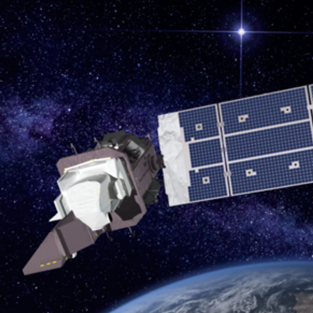
🛰️📡 Unofficial mirror/fan account for the Landsat Program, a series of Earth-observing satellites co-managed by USGS & NASA, imaging the Earth since 1972. Posts do not necessarily reflect the views of USGS or NASA.
Spatial data science languages, open science, R foundation, upright bass
Spatial Data Science, geography, LiDAR, forests. 🌳🌍 Researcher at the @earth-observation.org at University of Würzburg
Supporting the UK’s world-leading Earth Observation, climate science & climate services community across industry, policy & academia. Find out more at www.Space4Climate.com
Department of Geoinformatics at Paris-Lodron Universität Salzburg @unisalzburg.bsky.social
Fachbereich Geoinformatik, DAS Faculty
Geographer | River Scientist | Spatial Data Scientist
Massive fan of trees, fairweather fan of data. UKRIFLF, Assoc Prof, University of Cambridge. #womeninstem she/her
linesresearchgroup.com
Arctic ecology | movement ecology | reindeer + muskoxen | Assoc. Prof. @UNISvalbard | she/her
Geologist & Remote Sensing Scientist | Earth Observation Research Cluster, Uni Würzburg 🌍🔍 @eor-wuerzburg.bsky.social
UAS Lecturer | Member of the UAS Team 🚀
PhD Researcher on Environmental & Forestry Applications of UAS 🌿📡
Spatial Data Science 🧭
Deep Learning ⌨️
Doctoral Researcher at EORC 🛰️
konstide.github.io
🛰️🗺️ Satellites and maps | Dpty. Director of Environmental Mapping at https://sig-gis.com/ | She/her | 🇩🇪 in 🇺🇸 | born at 351 ppm
Geographer|Earth Observation Scientist
I combine optical and radar remote sensing to understand spatio-temporal dynamics of savanna ecosystems of Southern Africa.
Doctoral Researcher @uni-jena.de
Guest Doctoral Researcher @humboldteolab.bsky.social
Für das Thünen-Institut, Bundesforschungsinstitut für Ländliche Räume, Wald und Fischerei, postet die Pressestelle.
Impressum: thuenen.de/de/impressum Datenschutz: thuenen.de/de/datenschutzerklaerung
Professor for Earth observation, Technical University of Munich.
Machine Learning engineer @planet. Mentor with Frontier Development Lab. Previously at Dropbox & Google. Started coworking. Interests: Machine Learning, space, Earth Observation, VR.
http://codinginparadise.org
Twitter: @bradneuberg
Remote Sensing (EO) scientist @humboldteolab.bsky.social, @SilvisLab alumni
environmentalist
bicycle mechanic
F&SF enthusiast, retired geek
https://kelewinska.github.io/
Senior Research Scientist with the Canadian Forest Service. 🍁
#Landsat super-fan. #Lidar. #Forests. #Remotesensing. 🌲🛰
Member of the #OrderOfCanada. 🎖
📎https://www.researchgate.net/profile/Michael-Wulder
Academic. Obsessed with making conservation more effective. Enjoying making nerdy videos explaining the principles of ecology and conservation. YouTube Channel: Conservation Concepts https://youtube.com/@bill_sutherland
Professor at UBC; Co-chair of Global Land Programme; Sustainable land and food, Climate change; Dad of 2, Spouse of 1; Raquet sports; Max 5K runner; Learning to swim.
https://www.R-Bloggers.com is a blog aggregator of content contributed by bloggers who write about R.
This is a bot posting updates to the website. It is powered by {atrrr} and Github actions. Source: https://github.com/JBGruber/r-bloggers-bluesky
Nature Portfolio’s high-quality products and services across the life, physical, chemical and applied sciences is dedicated to serving the scientific community.
Keeping you posted on space science activities from the European Space Agency.
Web: http://www.esa.int/science
Privacy Notice: esa.int/connectwithus
#astronomy #space #science
Cutting-edge research, news, commentary, and visuals from the Science family of journals. https://www.science.org
We're the European Space Agency, keeping you posted on European space activities.
Please see our Privacy Notice: https://esa.int/connectwithus
🌏 People and nature thriving together.
Official account of the United Nations Environment Programme
https://www.unep.org/
Nature gives us so much. Now is the time to give back. Nature Needs Us Now. WWF-US
Remote sensing researcher at VITO Remote Sensing, focusing on land cover and forestry applications
The lighter side of science 🚀🧪🔭🧬 For more: https://sked.link/iflscience
We are a network of scientists, researchers, and innovators working to provide the knowledge needed to accelerate transformations toward sustainability.
futureearth.org
interested in spatial • mapping • remote sensing • #eochat • eo-journalism 🛰️ topics but also kayaking & trekking | based in Berlin
Researcher at @iiasa.ac.at | LA & Fellow @ipbes.net | AE @consbiog.bsky.social | #macroecology | #conservation | #biodiversity | #remotesensing | #systemsthinking | https://www.martinjung.eu/
Fixing bugs and saving ducks 🦆
he/him, Petrologist, Geochemist, born at 350 ppm CO2
The Open Source Geospatial Foundation is a not-for-profit organization whose mission is to foster global adoption of open geospatial technology by being an […]
[bridged from https://fosstodon.org/@osgeo on the fediverse by https://fed.brid.gy/ ]